
There we are trying to better understand the populations of pumas and jaguars. We are currently developing our Science and Education fronts as well as starting the first steps of Ecotourism activities in the area.
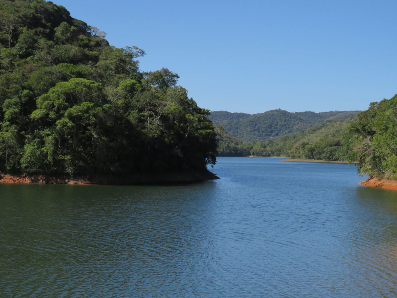
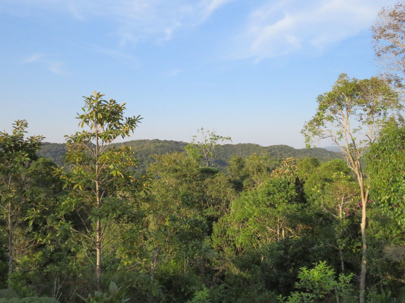
In the Atlantic Forest we are based at Legado das Águas, the largest private reserve of this biome in the country. More than 31.000 ha of forest, located just a couple of hours from São Paulo.
Address
Km 394 – Rodovia Regis Bittencourt – Piraí – Miracatu (SP)
ZIP Code: 11850-000
How to get there


Legado das Águas Location Map
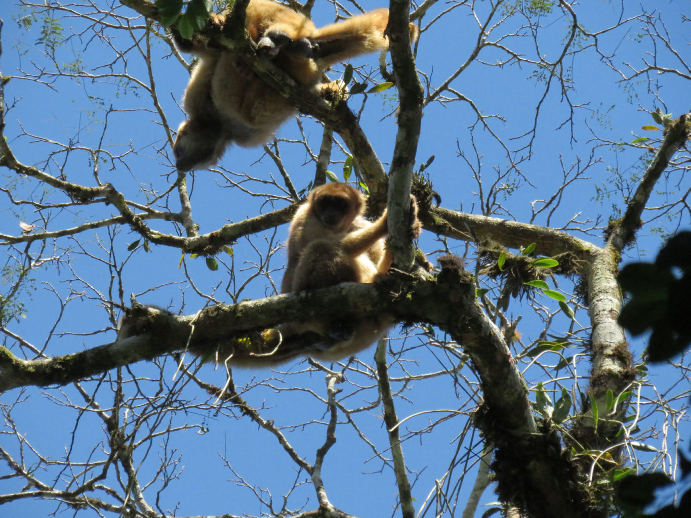
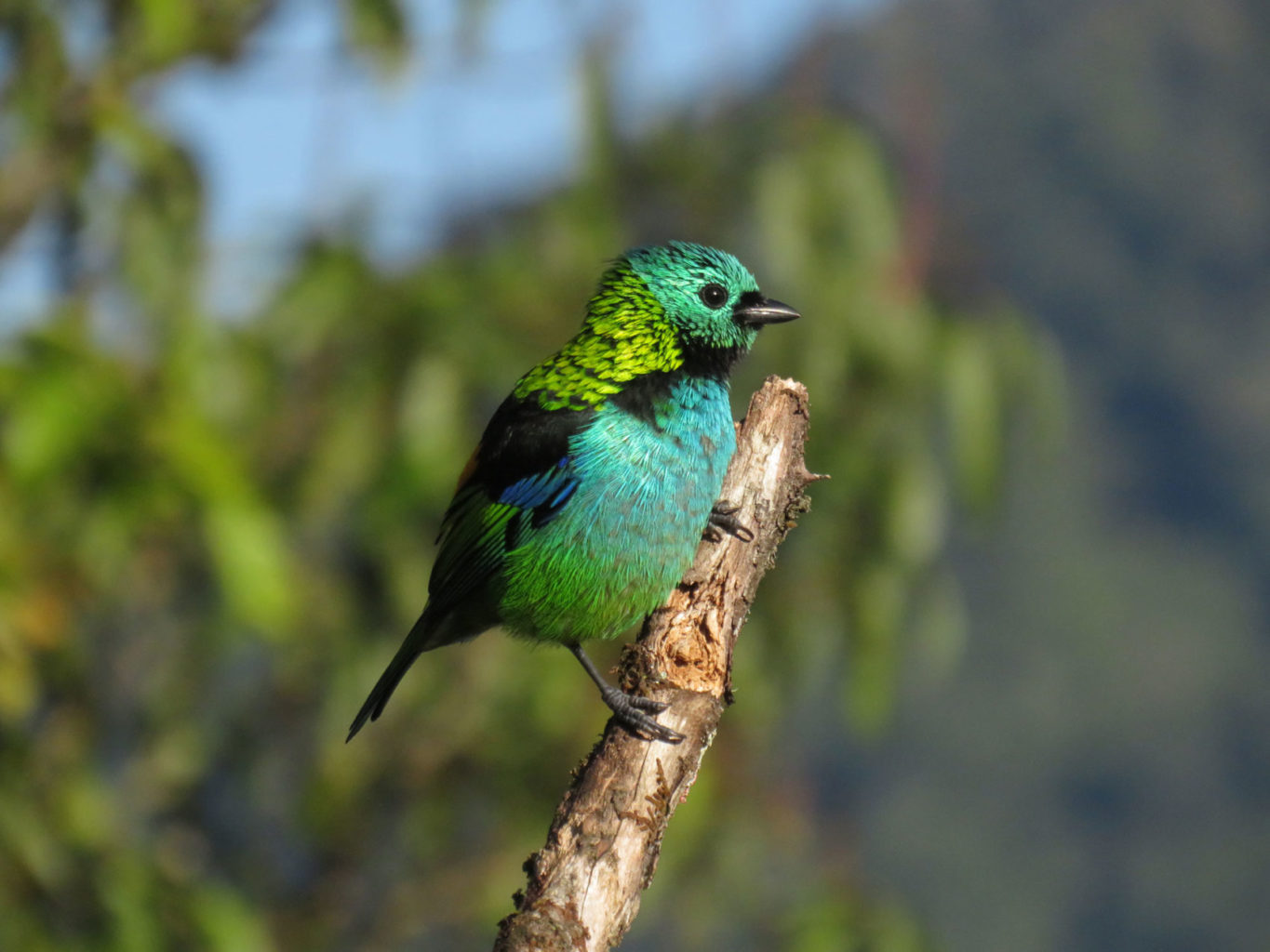
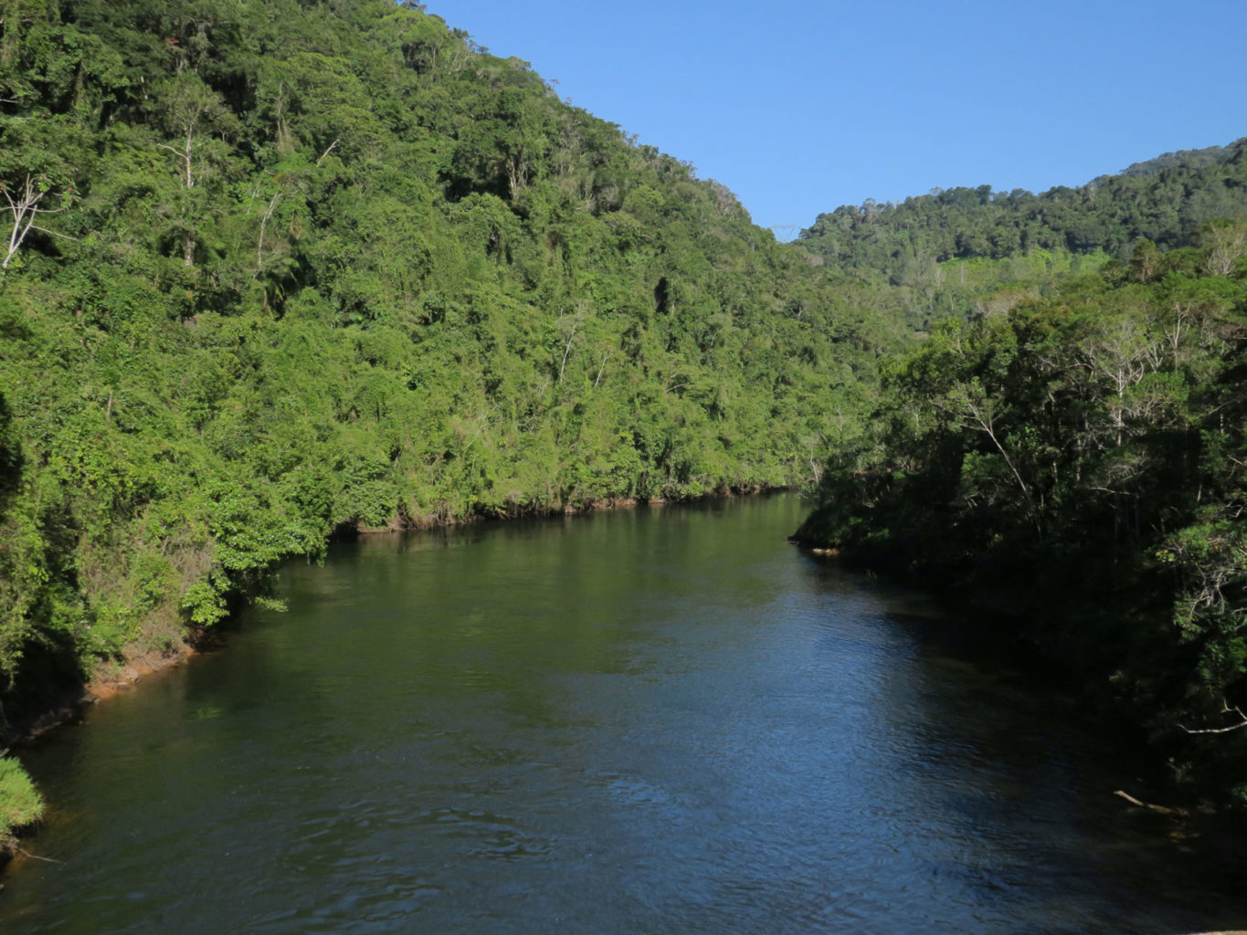
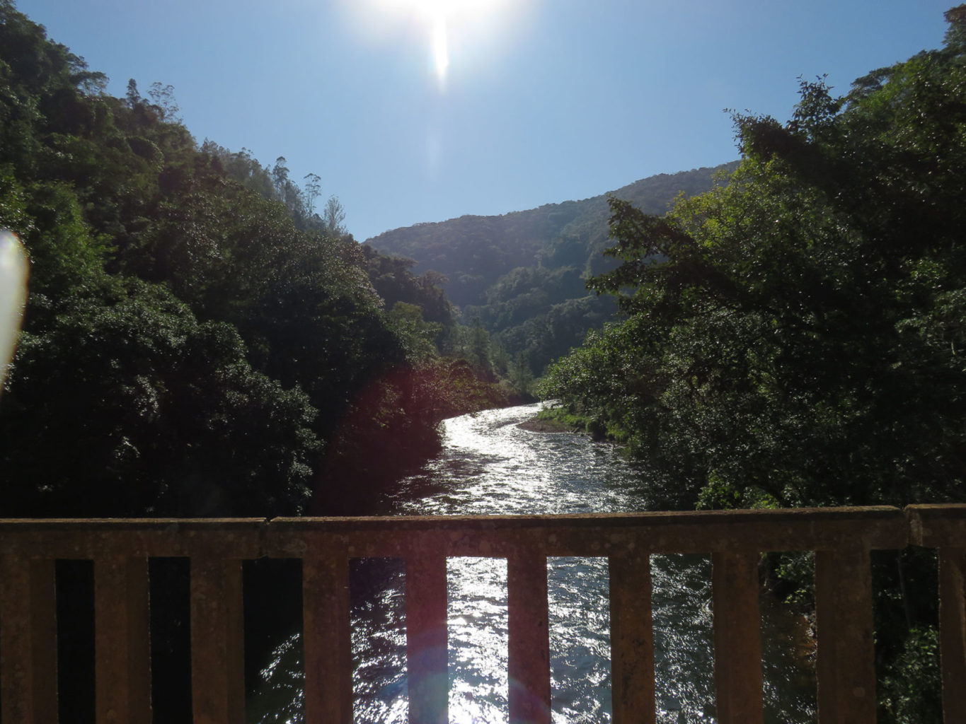
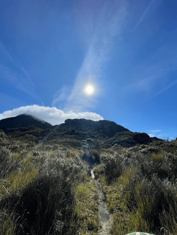
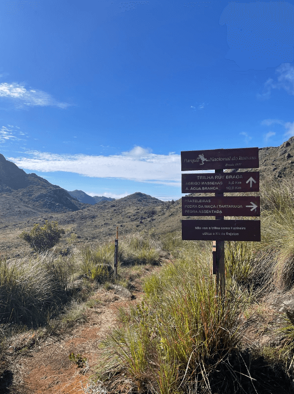
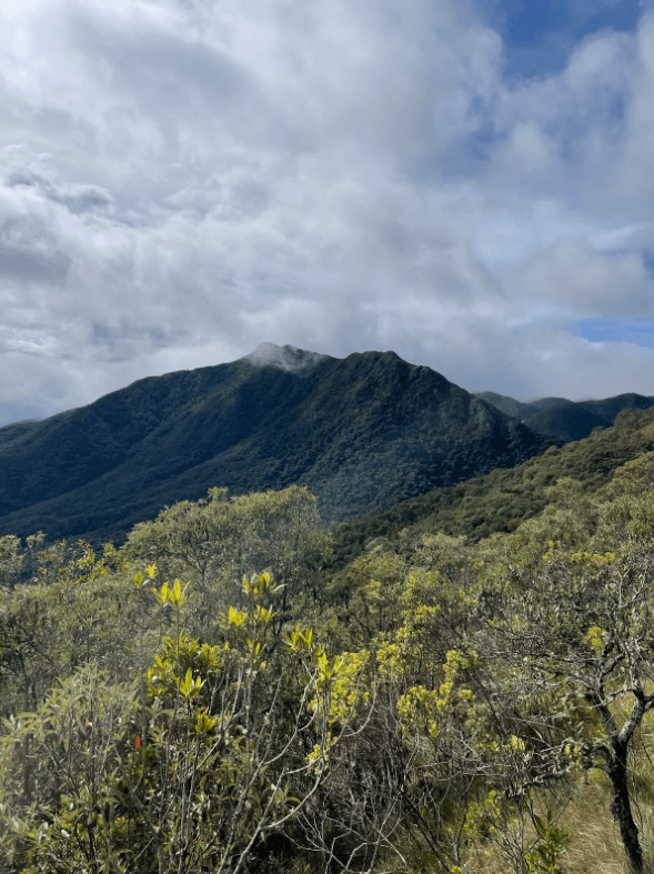
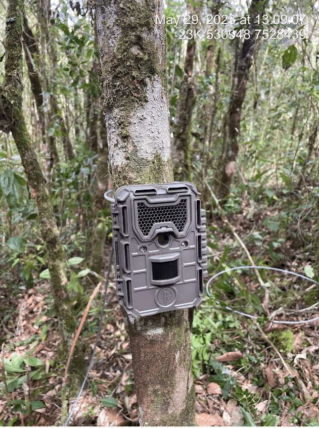
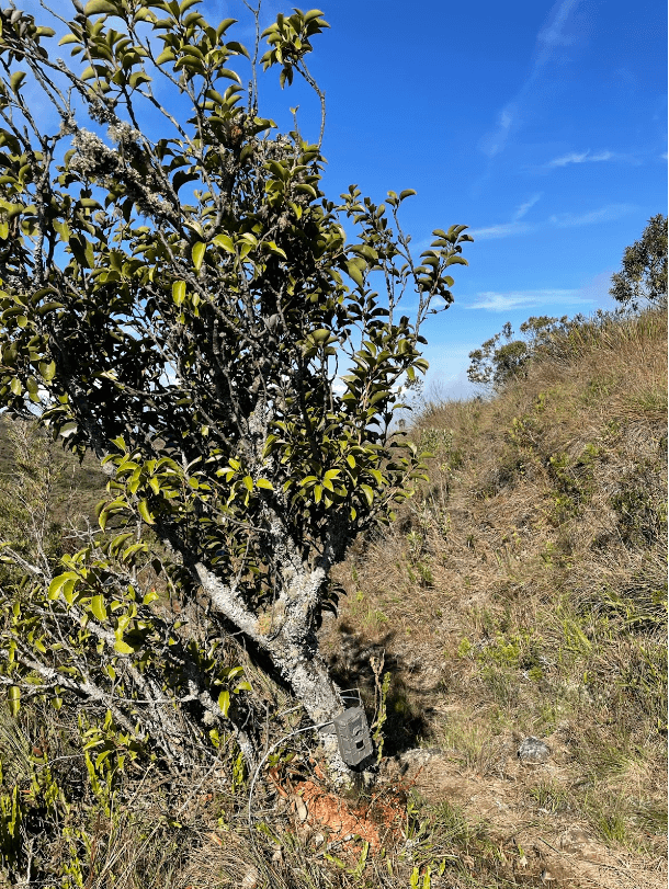
Another base we work in the Atlantic Forest is Itatiaia National Park (PNI), the oldest one in Brazil. Located in Serra da Mantiqueira, on the border between São Paulo, Rio de Janeiro and Minas Gerais, Our research inside the base is dedicated to the local fauna. With altitudes varying between 540 meters to impressive 2.791 meters.
Our main goal is to make an extensive list of mammal species inhabiting the area, filling this gap in knowledge. Currently we have 15 monitoring spots, meaning 15 cameras distributed on the trails of the park. Our research aims to understand how the species use the environment and improve the knowledge about the local fauna.


Parque Nacional do Itatiaia Location Map
In the Atlantic Forest we are also present in São Paulo Catarina Executive International Airport. The base has a vast extension of 325 hectares and is located in km 62 of Rodovia Presidente Castello Branco, 30 minutes from São Paulo.
Our work is focused on scientific research aimed at local fauna. Our main goal is to study the mammal populations inhabiting the area, with a specific focus on pumas and ocelots. Our research efforts seek to understand how the species use the environment. We seek to understand their movement and behavior patterns, in order to contribute to biodiversity conservation.


Catarina Executive International Airport Location Map
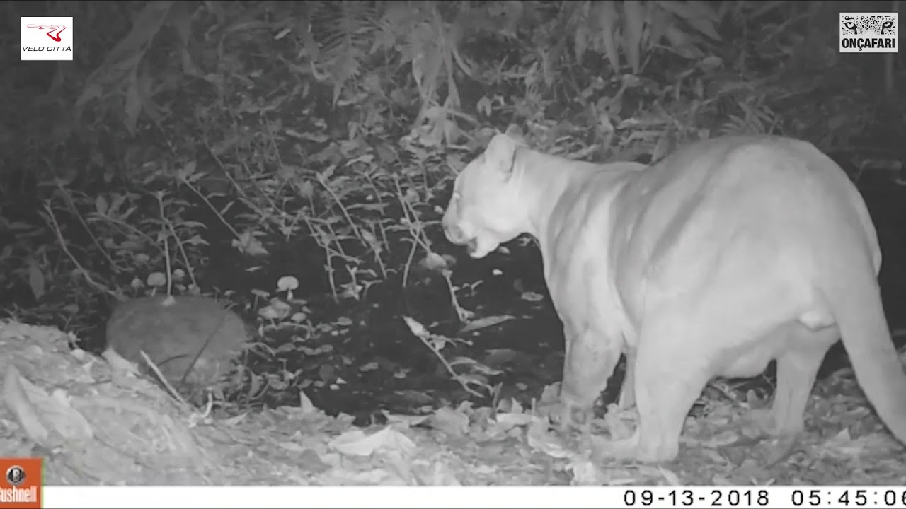
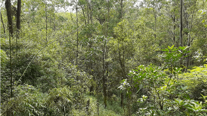
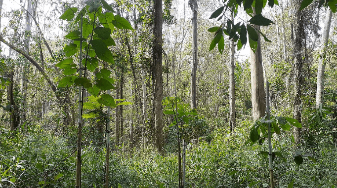
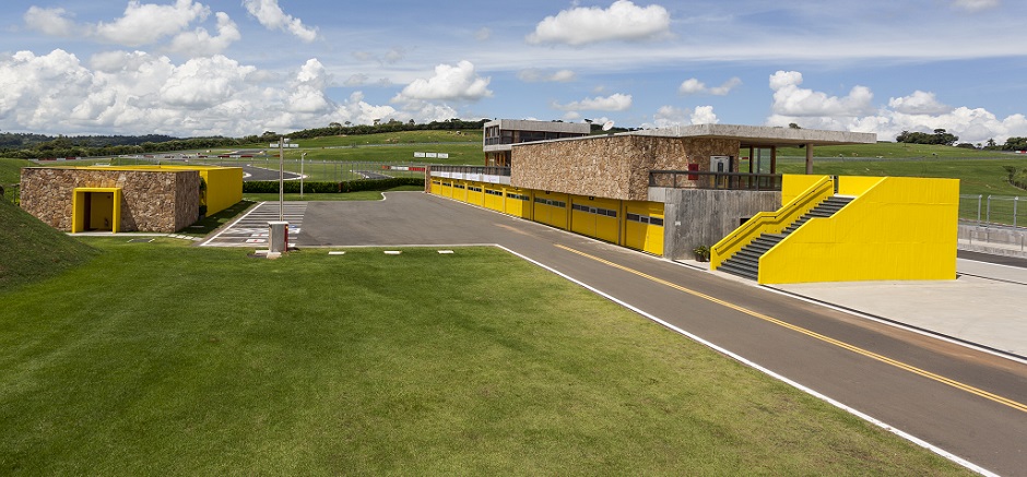
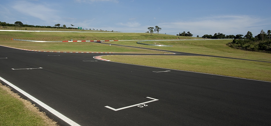
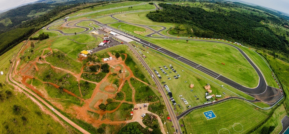
In the Atlantic Forest we are present in an area of Mogi das Cruzes in the state of São Paulo.
The area is part of the farm, Velocitta. In this biome, we use scientific methods to monitor the maned wolves that inhabit this region.
Contact us
https://www.autodromovelocitta.com.br
Phone: +55 11 99322-8828
Phone: +55 11 2196-7667
WhatsApp: +55 11 99534-0054
WhatsApp: +55 11 94161-9646


Video
Velocitta Location Map
Goodyear Base
Goodyear is one of the largest tire manufacturers in the world, present in Brazil for over 100 years. The company works in favor of the environment and a sustainable economy through different initiatives in its production chain and supporting multiple institutions with this focus. Among these actions, Goodyear entered into a partnership with Onçafari in 2021, providing tires for the project’s activities in the Pantanal. In 2023, this collaboration evolved to also include a new front: wildlife monitoring within the facilities of Goodyear’s factory in Americana, São Paulo, Brazil. The Goodyear industrial unit in Americana, located on the Anhanguera Highway, has an environmental protection area of approximately 180,000 m², and in this area we have 8 local fauna monitoring spots.

Address
Av. Nicolau João Abdalla, 2320 – Vila Bertini, Americana – SP
Contact us
Phone: +55 (19) 3471-1227
Goodyear Location Map
Queixo D´Anta
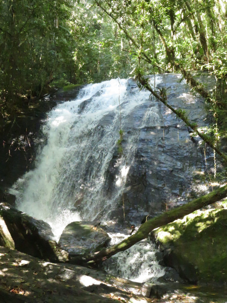
The farm is named after Queixo da Anta, a mountain with an altitude of 1684 m that can be seen from the small center of São Francisco Xavier. The region is part of the Serra da Mantiqueira, an important remnant of the Atlantic Forest between the states of São Paulo and Minas Gerais. The Peak became more well-known in the 1980s when a plane crashed into the mountain, and since then, the trail leading to the site has been widely used by the general public. Today it is possible to take this trail with the help of guides accredited by the Farm.


